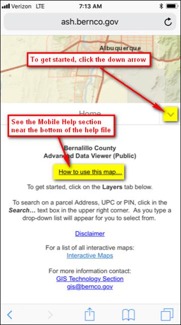
Bernalillo County Advanced Data Viewer (ADV) Tips
The ADV has multiple layers of geographic information. There are a variety of tools for seeing data, data searches and printing.
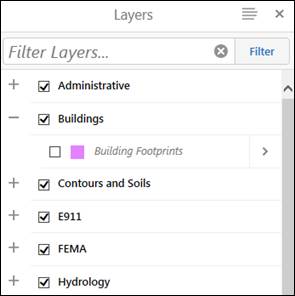
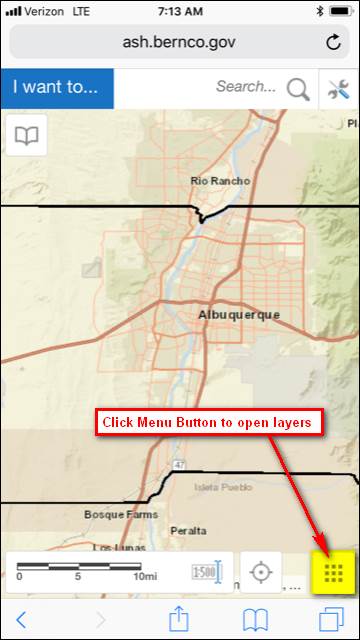
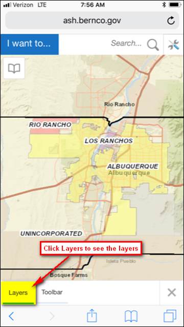
To see the
available layers, click the Layers tab: ![]() . Layers
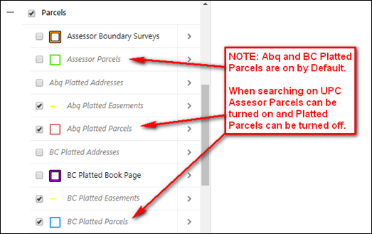
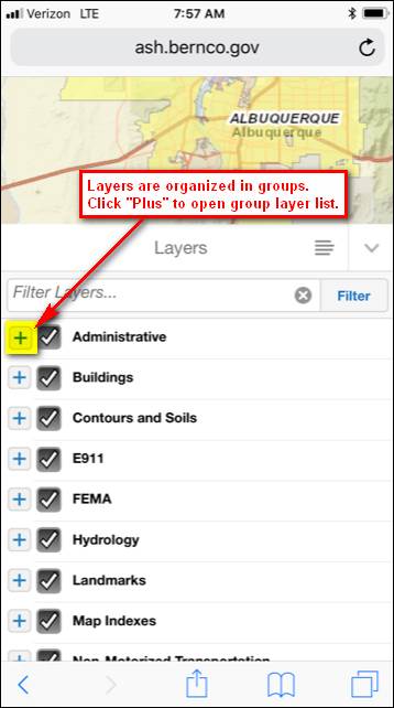
are organized in folders (e.g. Administrative, Parcels, etc.)
. Layers
are organized in folders (e.g. Administrative, Parcels, etc.)
To see which
layers are on by default and how they are drawn, click the “plus” icon ![]() next to the folder name.
next to the folder name.
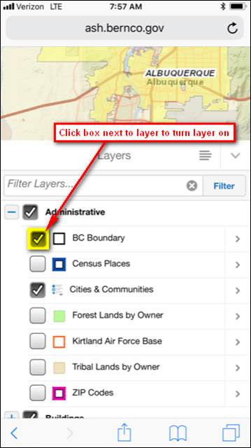
Click the
checkbox ![]() next to the name to turn a layer on. Certain layers only become
visible as you zoom in; these layers are displayed in italics. Layers with
many features (e.g. parcels) are only drawn when zoomed in.
next to the name to turn a layer on. Certain layers only become
visible as you zoom in; these layers are displayed in italics. Layers with
many features (e.g. parcels) are only drawn when zoomed in.
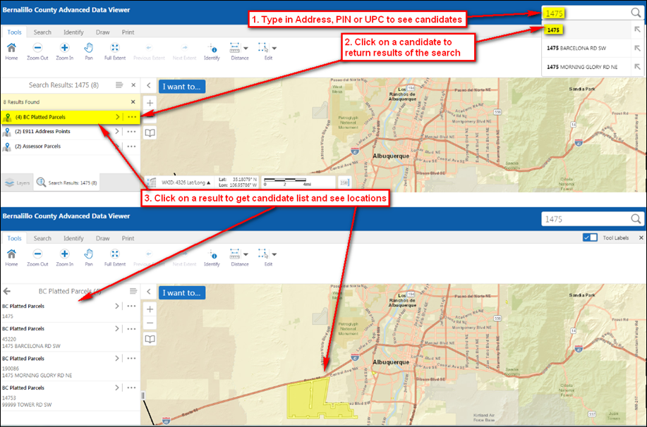
How to Search Parcels and Addresses
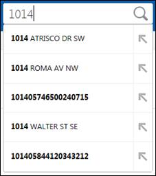
To search on a parcel Address, UPC or PIN, click in the Search... text box in the upper right corner.
![]()
As you type a drop-down list will appear for you to select from. The list includes candidate addresses, UPCs, and PINs that match your search entry.

Mobile Help
For more tips on using the interactive maps contact the GIS Technology Section/Bernalillo County Planning & Development Services at [email protected] or 505-224-1690.